Melen River

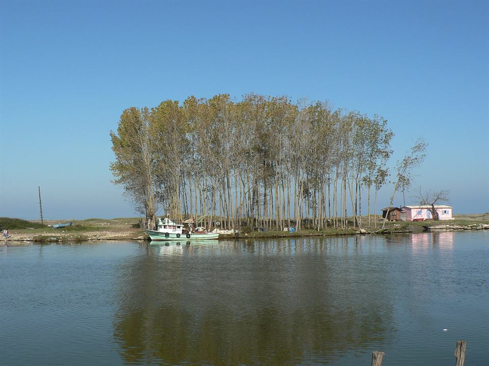
Photo: Acar54 · CC BY-SA 4.0

Nature

Melen River

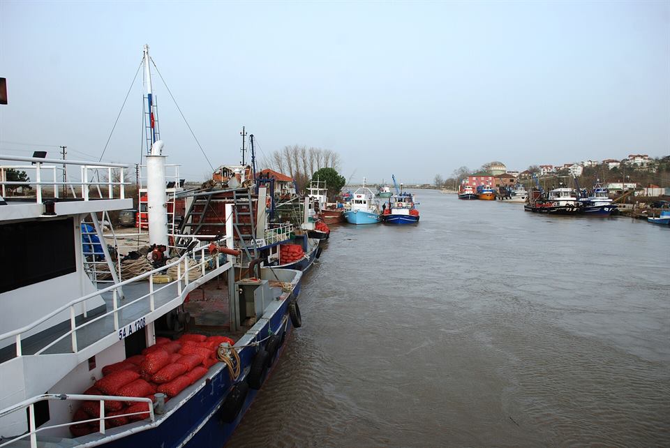
A 110 km river forming the border between Düzce and Sakarya; its mouth is in Akçakoca.

From the centre: 16 km · about 19 minBest time: Spring and summerGet directions

The Melen River is 110 km long and flows into the Black Sea at Melenağzı, west of Akçakoca. In this stretch it forms the border between Düzce and Sakarya.

The cream of the water buffalo grazing on the Melen plains is the main ingredient of melengüççeği, Akçakoca's dessert with geographical indication. The river is also used for rafting; ask at the start of the season whether tours are running.

The Melen basin is also the habitat of Cobitis splendens, an endemic freshwater fish found only in this region.

Before you go

You'll find this place in our itineraries
Keep exploring Akçakoca

Nearby

The closest places as the crow flies; you can visit them on the same day.

Melenağzı Beach
Beach

Melenağzı Beach

A natural beach at the district's western end, where the Melen River flows into the Black Sea.

200 m away
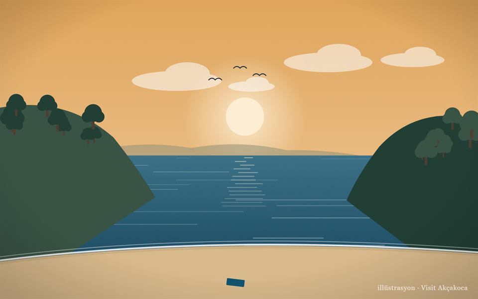
Paşalar Beach (illustration)
Beach

Paşalar Beach

A quiet cove west of Akçakoca, away from the crowds.

4.7 km away
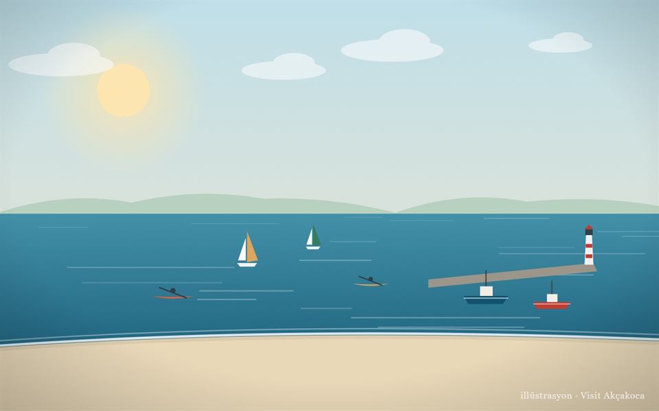
Karaburun Beach (illustration)
Beach

Karaburun Beach

A beach in Hasançavuş next to a small fishing harbour, used for sailing and canoeing.

5.5 km away
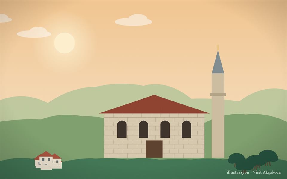
Yeni Meze Mosque, Uğurlu Village (illustration)
History

Yeni Meze Mosque, Uğurlu Village

A historic village mosque in Uğurlu, known for its stonework and the Ottoman inscriptions inside.

5.6 km away

How to get to Akçakoca

  • Istanbul (Kadıköy)223 km · ~2.5–3 h
  • Ankara (Kızılay)273 km · ~3 h
  • Düzce city centre37 km · ~35 min
  • From Akçakoca centre to here16 km · about 19 min

By car, take the TEM or D100 to the Düzce exit and drive about 37 km north; you can also come along the coast road (D010) via Ereğli or Karasu. Many bus companies run direct services to Akçakoca; there is no train.

Transport details →
Last checked: October 2026Is something on this page wrong or out of date? Let us know